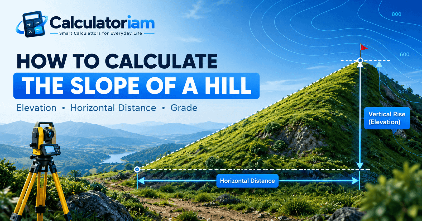
How to Calculate the Slope of a Hill
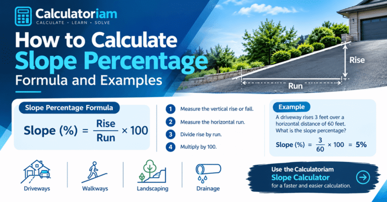
To calculate the slope of a hill, divide the elevation change between two points by their horizontal distance. Multiply the result by 100 to express the average slope as a percentage.
For example, if a hill rises 200 feet over a horizontal distance of 1,000 feet, its average slope is 20%. This means the land gains 20 feet of elevation for every 100 feet of horizontal distance.
You can calculate hill slope using elevation readings, a topographic map, or surveying equipment. The method depends on the measurements available and the accuracy required.
What Does the Slope of a Hill Mean?
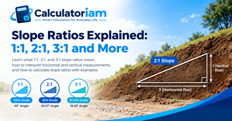
The slope of a hill describes how steep the terrain is between two selected locations. It compares the vertical elevation change with the horizontal distance separating those points.
Three measurements are important:
- Elevation Change: The vertical difference between the starting and ending elevations.
- Horizontal Distance: The level distance between the measurement points.
- Slope Percentage: The elevation change expressed as a percentage of horizontal distance.
When traveling uphill, elevation increases and the directional slope is positive. Moving downhill produces a negative slope when the direction of measurement is preserved.
Hill slope measurements are useful for land surveying, hiking route planning, landscaping, terrain assessment, and preliminary construction site evaluation.
Formula for Calculating the Slope of a Hill
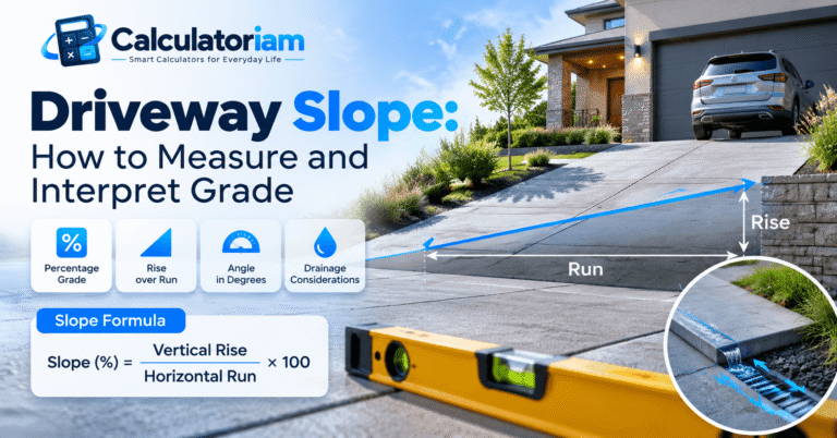
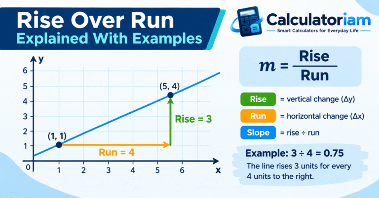
The hill slope formula compares the vertical elevation difference with the horizontal distance.
The basic formula is:
S=\frac{H}{D}
Here, S represents the slope ratio, H represents the vertical elevation change, and D represents the horizontal distance.
To calculate the slope as a percentage, multiply the ratio by 100.
S=\frac{H}{D}\times100
In this second formula, S represents the percentage slope.
Both measurements must use the same units. For example, if the elevation difference is measured in feet, the horizontal distance must also be expressed in feet.
How to Calculate Elevation Change
Elevation change is the difference between the elevations of two selected locations.
Use the following formula:
H=E_2-E_1
Here, H represents the elevation change, E_2 represents the higher elevation, and E_1 represents the lower elevation.
Suppose the top of a hill has an elevation of 1,200 feet and the lower point has an elevation of 900 feet.
Substitute the values:
H=1200-900
Calculate the difference:
H=300
Answer: The elevation difference is 300 feet.
Understanding Horizontal Distance
Horizontal distance is the level distance between two measurement points. It is different from the diagonal distance measured along the hill’s surface.
This distinction matters because the standard slope formula uses horizontal distance rather than sloped ground distance.
On a topographic map, horizontal distance can be determined using the map scale. Surveying instruments can also establish the horizontal separation between two locations.
How to Calculate the Slope of a Hill Step by Step
Follow these steps to calculate the average slope between two selected points on a hill.
Step 1: Identify the Measurement Points
Choose the starting and ending locations along the section of terrain you want to measure.
For example, you might select a point near the hilltop and another near its base.
Record their elevations using reliable elevation data or suitable surveying equipment.
Step 2: Find the Elevation Difference
Subtract the lower elevation from the higher elevation.
Suppose the upper point is 1,450 feet and the lower point is 1,100 feet.
Apply the elevation change formula:
H=1450-1100
Calculate the difference:
H=350
Answer: The elevation difference is 350 feet.
Step 3: Measure the Horizontal Distance
Determine the horizontal distance between the same two points.
Assume the horizontal distance is 1,750 feet.
Make sure this measurement represents level ground distance rather than the diagonal length along the hillside.
Step 4: Apply the Hill Slope Formula
Divide the elevation difference by the horizontal distance.
Substitute the values:
S=\frac{350}{1750}
Simplify the fraction:
S=0.20
Multiply the result by 100 to express the slope as a percentage.
S=0.20\times100=20%
Final Answer: The average slope of the selected hill section is 20%.
This means the terrain rises 20 feet for every 100 feet of horizontal distance.
You can also enter the elevation change and horizontal distance into the Slope Calculator to calculate the percentage grade, slope angle, and rise-to-run ratio.
How to Calculate Hill Slope Using a Topographic Map
Topographic maps represent terrain elevations using contour lines. Each contour line connects locations at the same elevation.
Closely spaced contour lines generally indicate steeper terrain, while widely spaced lines indicate more gradual slopes.
The U.S. Geological Survey explains how contour lines represent elevation and terrain features in its topographic map guidance.
You can estimate average hill slope by combining contour elevations with the map’s horizontal distance scale.
Step 1: Identify the Contour Interval
The contour interval represents the elevation difference between adjacent contour lines.
For example, a map with a 20-foot contour interval shows a 20-foot elevation difference between neighboring contour lines.
Check the map legend to identify the correct interval.
Step 2: Determine the Elevation Difference
Identify the contour elevations at the two selected points.
Suppose the upper point has an elevation of 980 feet and the lower point has an elevation of 620 feet.
Subtract the elevations:
H=980-620
Calculate the difference:
H=360
Answer: The elevation difference is 360 feet.
Step 3: Measure the Horizontal Ground Distance
Use the map scale to determine the horizontal distance between the selected points.
For example, a map with a scale of 1:24,000 represents 24,000 ground units for every map unit.
At this scale, one inch on the map represents 2,000 feet on the ground.
Suppose the measured map distance is 0.75 inches.
Multiply the map measurement by the ground distance represented by one inch:
D=0.75\times2000
Calculate the result:
D=1500
Answer: The horizontal ground distance is 1,500 feet.
Step 4: Calculate the Average Hill Slope
Use the elevation difference and horizontal distance to calculate the slope percentage.
Substitute the values:
S=\frac{360}{1500}\times100
Calculate the result:
S=24%
Final Answer: The average hill slope between the selected contour points is 24%.
This result describes the average grade along the selected measurement direction. Individual sections of the terrain may have different slopes.
Worked Examples of Hill Slope Calculations
Different elevation changes and horizontal distances produce different hill grades. The following examples demonstrate how to calculate them.
Example 1: Calculate a Gentle Hill Slope
Suppose a hill rises 80 feet over a horizontal distance of 800 feet.
Given measurements:
- Elevation change: 80 feet
- Horizontal distance: 800 feet
Apply the formula:
S=\frac{80}{800}\times100
Calculate the result:
S=10%
Answer: The average hill slope is 10%.
Example 2: Calculate a Steep Hill Slope
A hill has an elevation difference of 450 feet over a horizontal distance of 900 feet.
Given measurements:
- Elevation change: 450 feet
- Horizontal distance: 900 feet
Substitute the values:
S=\frac{450}{900}\times100
Calculate the result:
S=50%
Answer: The average hill slope is 50%.
Example 3: Calculate Hill Slope Using Miles
Suppose a hill rises 600 feet over a horizontal distance of 0.5 miles.
Before calculating the percentage, convert the horizontal distance into feet.
One mile contains 5,280 feet.
Multiply the distance in miles by 5,280:
D=0.5\times5280
Calculate the distance:
D=2640
The horizontal distance is 2,640 feet.
Now apply the slope formula:
S=\frac{600}{2640}\times100
Calculate the result:
S\approx22.73%
Answer: The average hill slope is approximately 22.73%.
Example 4: Calculate Elevation Change From a Known Hill Slope
Sometimes the slope percentage and horizontal distance are known, but the elevation difference must be calculated.
Suppose a hill has a 15% grade over a horizontal distance of 1,200 feet.
Rearrange the percentage slope formula to find elevation change:
H=\frac{S\times D}{100}
Here, H represents the elevation change, S represents the slope percentage, and D represents the horizontal distance.
Substitute the values:
H=\frac{15\times1200}{100}
Calculate the result:
H=180
Answer: The hill has an elevation difference of 180 feet over the selected horizontal distance.
What Factors Affect the Slope of a Hill?
Several factors influence the calculated slope and how it should be interpreted.
Elevation Difference
A greater elevation change over the same horizontal distance produces a steeper average slope.
For example, a 200-foot rise over 1,000 feet produces a 20% grade. Increasing the elevation change to 400 feet produces a 40% grade when the horizontal distance remains unchanged.
Horizontal Distance
The horizontal distance between measurement points directly affects the calculated result.
A shorter horizontal distance with the same elevation change produces a higher average slope percentage.
Terrain Shape
Natural hills rarely have perfectly uniform inclines. One section may be steep, while another may have a gradual incline.
A single calculation describes the average slope between the selected endpoints. Dividing the terrain into smaller sections can provide a more detailed assessment.
Measurement Accuracy
Incorrect elevation readings or horizontal distance measurements can affect the final result.
Topographic map resolution, instrument accuracy, and measurement point selection all influence reliability.
For projects requiring precise terrain measurements, appropriate surveying methods are preferable to approximate map readings.
Common Mistakes When Calculating Hill Slope
Understanding common measurement errors helps prevent inaccurate results.
Using Sloped Distance Instead of Horizontal Distance
The diagonal distance along the hillside is not the same as horizontal distance.
The standard slope formula uses horizontal run. Substituting sloped distance produces a different ratio.
Mixing Measurement Units
Using feet for elevation change and miles for horizontal distance without conversion produces an inconsistent ratio.
Convert both measurements into compatible units before calculating percentage slope.
Assuming the Entire Hill Has a Uniform Grade
A hill may contain several sections with different gradients.
An average slope calculation does not establish that every part of the hillside has the same steepness.
Misreading Contour Lines
Contour intervals differ between topographic maps.
Always check the map legend before calculating elevation changes. Using an incorrect interval can significantly affect the result.
Confusing Percentage Slope With Degrees
Percentage slope and slope angle describe steepness differently.
A 20% grade does not mean a 20-degree angle. The percentage represents the ratio of elevation change to horizontal distance.
Frequently Asked Questions
How do you calculate the slope of a hill?
Divide the elevation change between two selected points by their horizontal distance. Multiply the result by 100 to express the average slope as a percentage.
What is the formula for hill slope?
The percentage slope formula is:
S=\frac{H}{D}\times100
Here, S represents the slope percentage, H represents the elevation change, and D represents the horizontal distance.
Both measurements must use compatible units.
How do you find hill slope from a topographic map?
Identify the elevations at two selected points using contour lines. Calculate their elevation difference and determine the horizontal ground distance from the map scale. Divide the elevation difference by the horizontal distance to calculate the average slope.
Does a higher slope percentage mean a steeper hill?
Yes. A higher absolute slope percentage represents a greater elevation change over the same horizontal distance. The sign indicates whether the selected direction is uphill or downhill.
Can you calculate hill slope without a topographic map?
Yes. Elevation readings and horizontal distance measurements can be obtained using suitable surveying equipment or reliable elevation data.
Is hill slope the same as slope angle?
No. Hill slope percentage represents the elevation-change-to-horizontal-distance ratio, while slope angle measures inclination relative to a horizontal reference.
Why are contour lines useful for measuring hill slope?
Contour lines represent equal elevations. Their spacing helps identify terrain steepness, while the contour interval provides the vertical differences needed for slope calculations.
Conclusion
Calculating the slope of a hill requires two measurements: elevation change and horizontal distance.
Divide the elevation difference by the horizontal distance to determine the average slope ratio. Multiplying the result by 100 converts it into a percentage.
Topographic maps, elevation readings, and surveying instruments can provide the necessary measurements. However, natural terrain often contains varying gradients, so a single calculation represents only the average slope between the selected points.
Use the Calculatoriam Slope Calculator to calculate slope percentage, angle, and rise-to-run ratio from your measurements.